ralphstraumann.ch
Creating a hexagonal cartogram
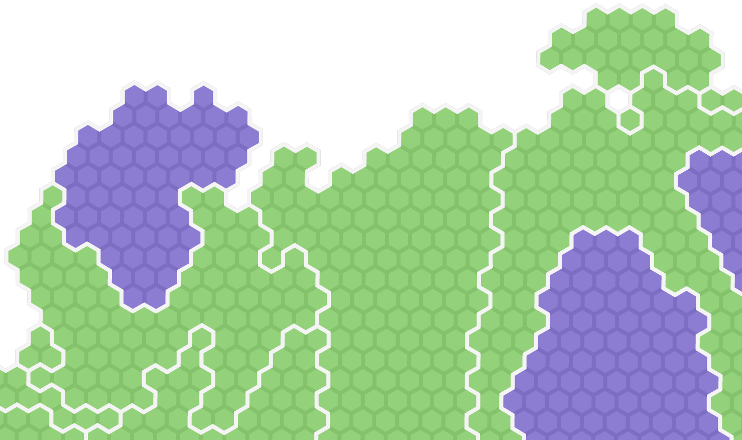
Some weeks ago I visualised the Swiss cantons (states) and their population numbers using what information visualization scientists call a linked view. You can click through to the actual, interact…