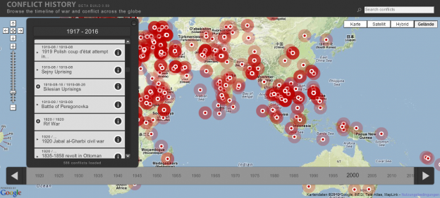
Sad map: Conflicts of humankind
The Dutch web development Studio TecToys built http://www.conflicthistory.com, a map and timeline of all important human conflicts. The base data for the visualization comes from Freebase and is enriched with Wikipedia content. The timeline lets you slice the data at adjustable interval widths. I’m not sure, just how exhaustive and geographically un-biased the coverage of the data … Continue reading Sad map: Conflicts of humankind