Economist’s Africa Twitter map provides some teachable insights

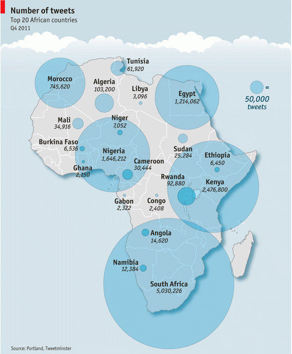
Mark Graham has posted a critique of a “Twitter map” that featured in the Economist at Zerogeography. The map was compiled by Portland Communications and Tweetminster and shows the number of tweets per country (original version of the map can be found in this presentation by Portland Communications): Mark Graham raises these interesting points regarding … Continue reading Economist’s Africa Twitter map provides some teachable insights

Where’s Europe?

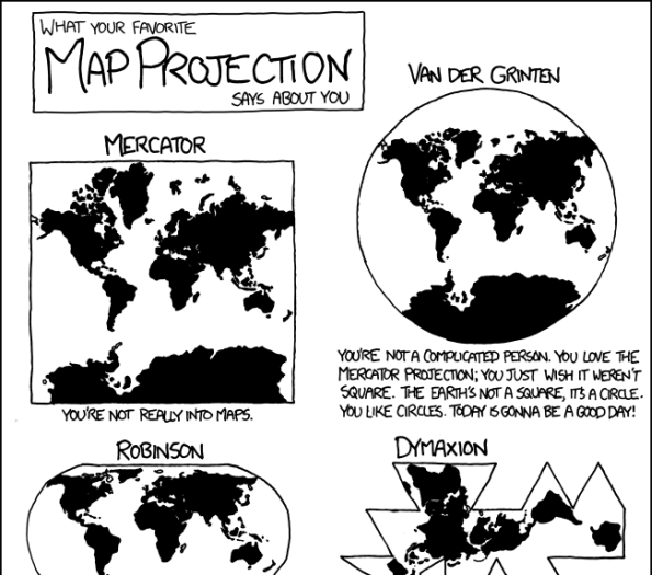
Via the GIS Doctor (in itself a fun blog) I got introduced to NY Times’ Opinionator. The Borderlines category on the Opinionator is maintained by author/blogger Franc Jacobs who “writes about cartography, but only the interesting bits.” Borderlines writes about interesting stories around country borders. So far, I’ve read the superbly entertaining and well informed … Continue reading Where’s Europe?

OpenStreetMap: A valid competitor to official base maps?

Still in last year, Cédric Moullet, amongst others MapFish and GeoExt contributor, sparked a discussion by his post “Why OpenStreetMap fails to replace official or proprietary base maps in a sustainable way ?” (note how this doesn’t sound like a question but bears a question mark ;) For simplicity, I will re-list Cédric’s 13 points here: … Continue reading OpenStreetMap: A valid competitor to official base maps?

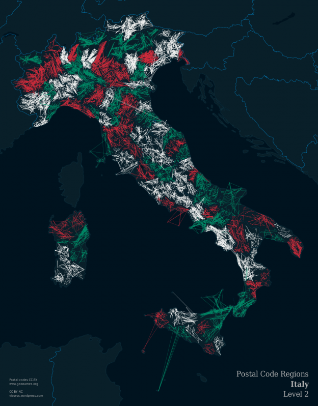
ZIPScribble Map Italy

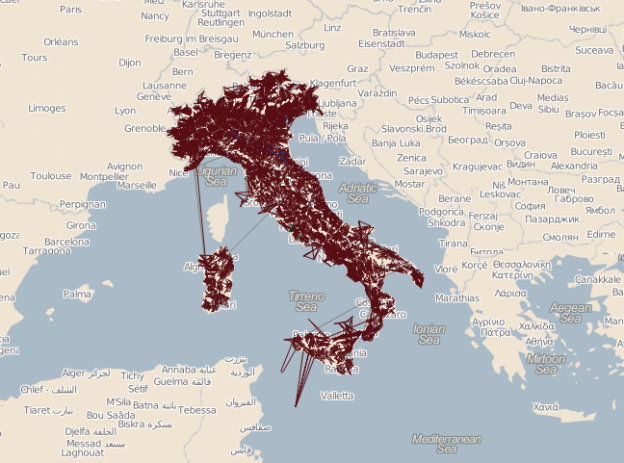
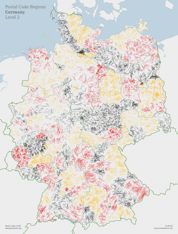
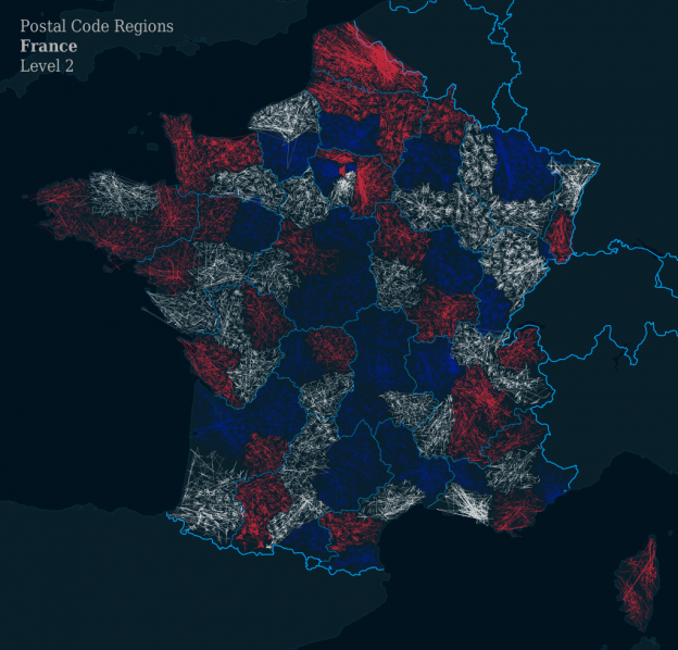
Earlier I’ve blogged a two-parts tutorial on how to create ZIPScribble Maps using the Processing visualization framework. The map uses a background I made with TileMill and CC-BY-licensed postcode data from the Geonames gazetteer portal. (By the way, here’s an informative short TileMill tutorial by Pierre La Baume) As explained earlier, there are different levels … Continue reading ZIPScribble Map Italy