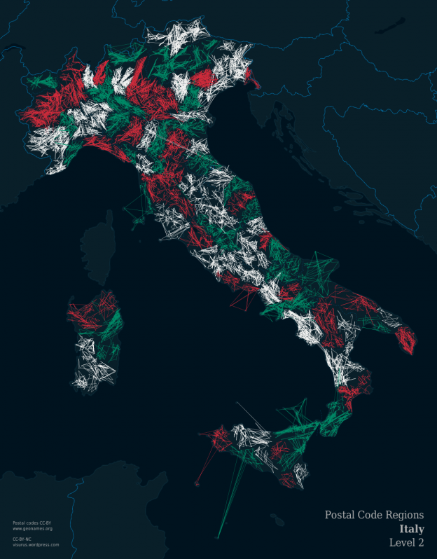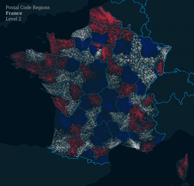
ZIPScribble Map France
“Allons enfants de la patrie…!” But before we get to that, as explained earlier, there are different levels in my ZIPScribble Maps: Level 1 ZIPScribble Map: Only the first digit of the postcode is compared. Thus, a discontinuity is detected, for example, between postal codes 8679 and 9000, but no discontinuity is detected between 8399 and 8400. … Continue reading ZIPScribble Map France