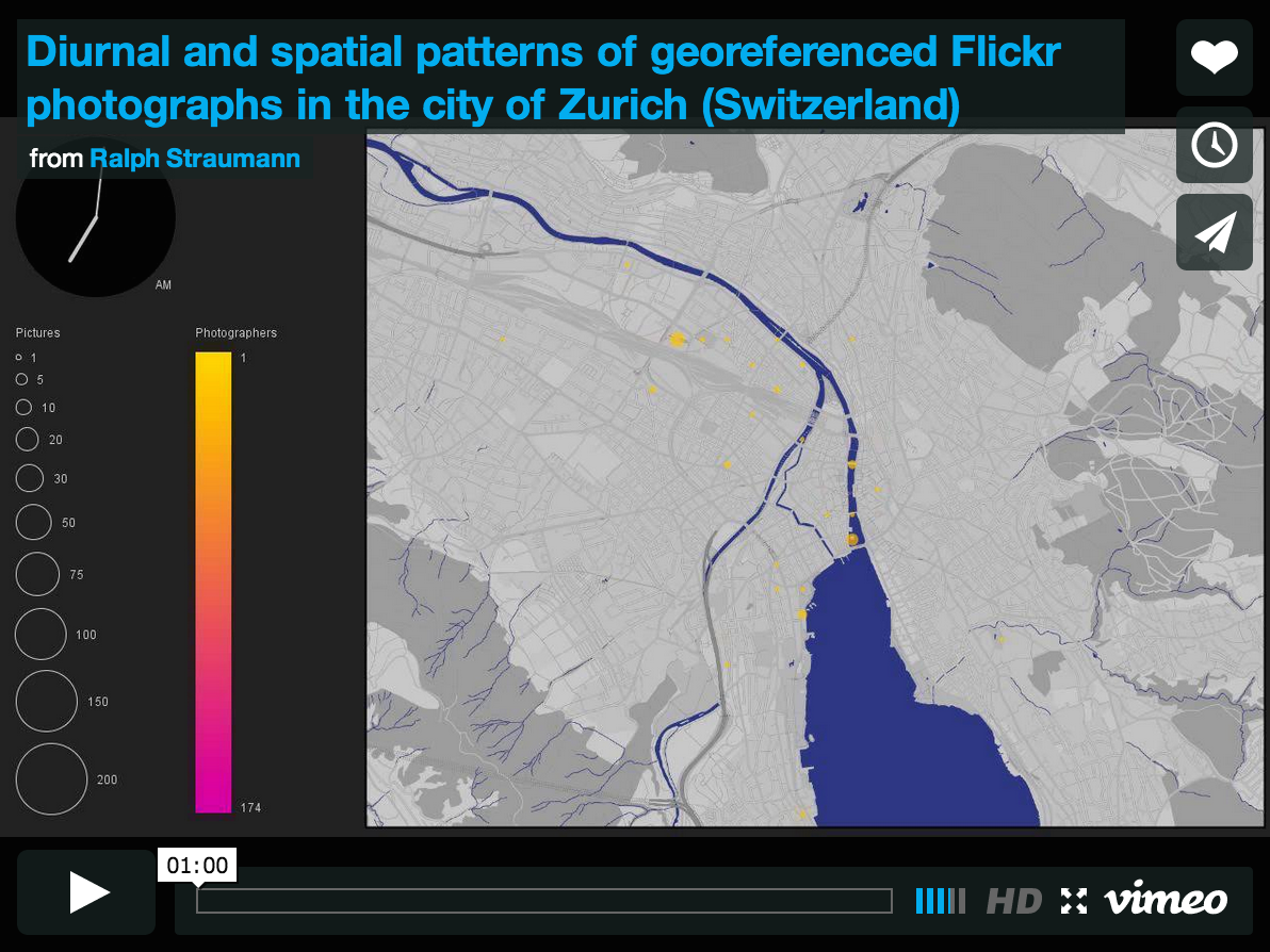
Colour me well-informed
When designing a map or a visualisation, sooner or later there is the point where you have to choose a range of colours (except in very specific circumstances which may require you to produce a black-and-white or greyscale visualisation). What is there to consider in such a situation?

Appropriate use of colours
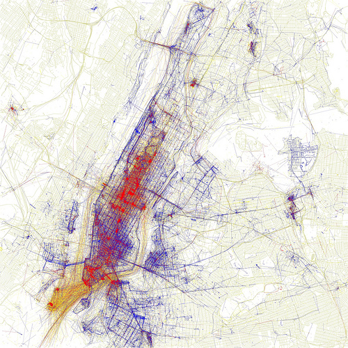
According to Bertin‘s (1918–2010) seminal work, Semiologie Graphique, colour (defined as hue with constant value) as a visual variable is both selective and associative. These mean, respectively, that an object with slightly differing hue can be selected with ease out of a group of objects and that objects with identical colour but differing values for other visual variables (e.g., in the case of shape as the other variable: a red circle, a red square and a red triangle) can easily be grouped mentally. Continue reading “Colour me well-informed”